
Product · Critical infrastructure
Atlas
What is critical, on the map: threats on the ground, change seen from orbit, attacks on the network.
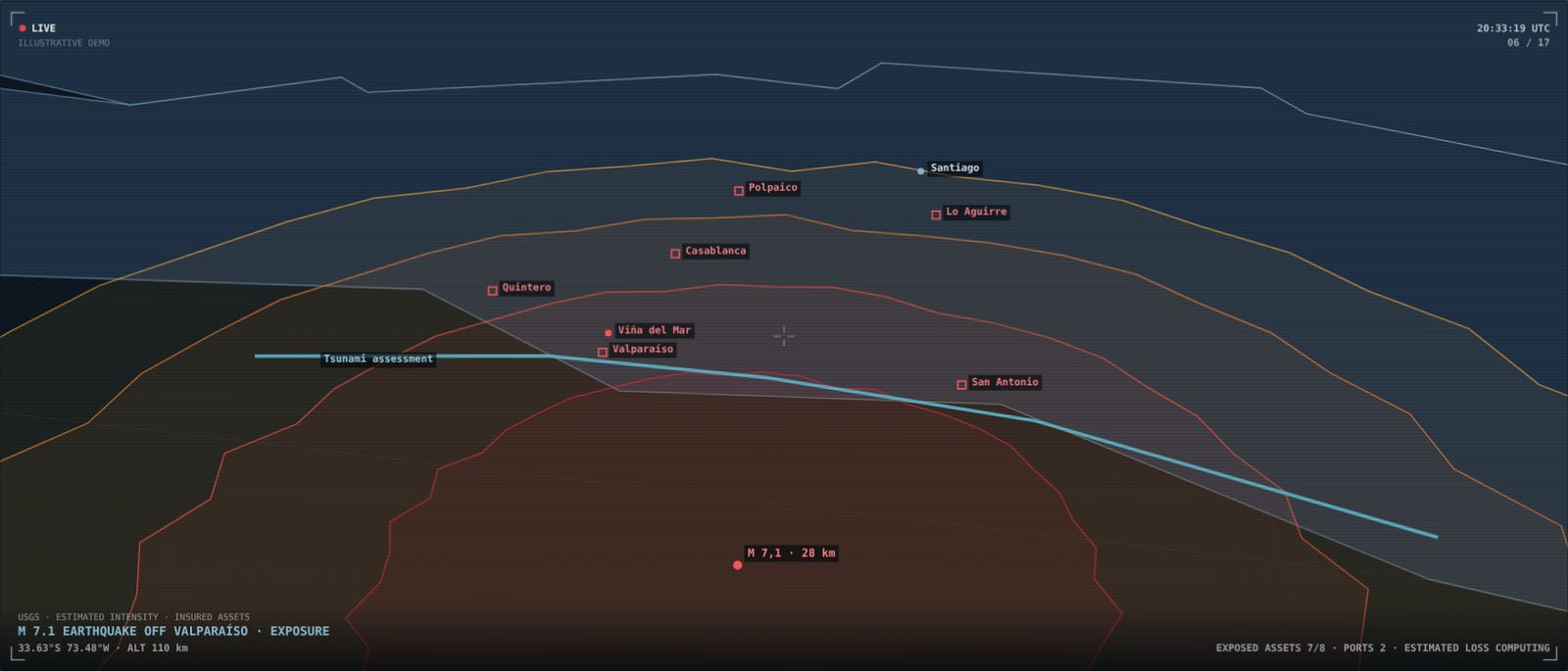
What's critical, on the map and live. Atlas places your assets on the real terrain and tells you, in seconds, which ones are exposed when something happens.
When there's a wildfire, an earthquake, a flood or an outage, the question is always the same: which of our assets are at risk, and what do we do first? The answer is usually scattered across spreadsheets, outdated maps and phone calls.
Atlas brings together geolocated assets — towers, substations, mine sites, plants, branches, roads — with live threats: NASA FIRMS fire hotspots, USGS earthquakes, river flows, power outages and volcanoes on alert. Terrain, the territorial twin, shows each asset's exposure, municipality by municipality.
It can connect to your existing dispatch center, so the operations room, management and field teams all see the same picture.
What it delivers
- Geolocated assets on the real terrain
- Wildfires, earthquakes, floods, outages and volcanoes
- Exposed assets in seconds
- Terrain: the territorial twin
- Connects to your dispatch center
Who it's for
- Power transmission and distribution
- Mining, water utilities and telecoms
- Insurers and reinsurers
- Emergency services and regional governments
Satellite and maritime
Spatial
What changes on land and what moves at sea, seen from above. Spatial compares satellite imagery over time and tracks vessels that switch off their transponders.
Illegal mining, land clearing, illegal fill and fishing at the edge of the exclusive economic zone happen far away, at night or with the transponder off. By the time they're reported, the damage is done.
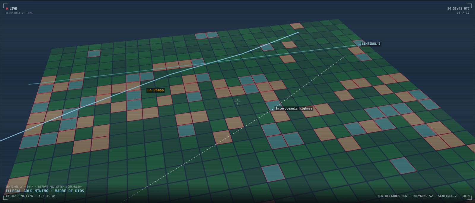
Spatial compares Sentinel-2 imagery of the same area across different dates and flags where the land has changed, in hectares and polygons. At sea, Sentinel-1 radar detects vessels even when they aren't broadcasting AIS, and those that don't identify themselves are flagged as dark.
Every finding enters the ontology with its date, image and location, ready to be cross-referenced with concessions, permits and companies.
What it delivers
- Land-use change with Sentinel-2
- Radar vessel detection with Sentinel-1
- Vessels without AIS flagged as dark
- Dated hectares and polygons
- Cross-referencing with concessions and companies
Who it's for
- Environmental and mining regulators
- Navies and maritime authorities
- Fishing companies and certifiers
- Regional governments and ministries
Module · Environmental permits
Covenant
What a project promised to win its environmental permit, checked every week against what the satellite sees.
Every environmental approval sets concrete commitments: areas that must not be touched, maximum water draws, replanting deadlines, the location of waste dumps and tailings dams. Inspectors cannot check them all, and most are inspected only after a complaint.
Covenant reads the approval and its geometry from the environmental assessment system (SEIA), turns each commitment into a rule and checks it against satellite imagery, DGA water rights and flows, and fire hotspots. A person validates each rule before it goes live. When the evidence contradicts a commitment, a case is opened with the image, the date and the text of the approval.
What it delivers
- Each approval's commitments turned into rules
- Weekly satellite checks
- Water: DGA rights and flows
- Human validation before any rule goes live
- A case with image, date and the approval's text
Who it's for
- Environmental regulators and inspectorates
- Environment ministries
- Mining, energy and water companies reporting compliance
- Regional governments
Cyber risk
Cybersecurity
The country's digital risk, linked to who it affects. Ransomware, data leaks, exposed attack surface and artificial intelligence, every incident tied to its company or agency.
A ransomware attack on a government supplier is a cybersecurity, continuity and procurement problem all at once. When incidents live in a separate report, nobody connects the attack to the contracts, data or services left at risk.
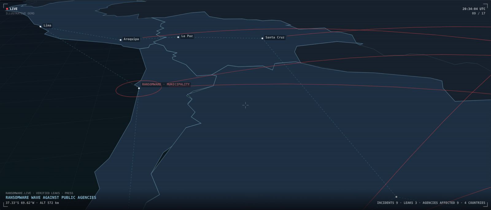
Cybersecurity links the country's verified ransomware incidents and data leaks to the affected companies and agencies in the ontology. Recon Toolkit observes from the outside, with no access or authentication, the services that suppliers and agencies expose to the internet, and records every finding with its date.
It also shows who in government is buying artificial intelligence and from whom, along with the country's AI incidents: the risk of agents acting on real systems.
What it delivers
- Verified ransomware and data leaks
- Recon Toolkit: internet-exposed attack surface
- Government suppliers with high-severity findings
- Government AI purchases and AI incidents
- Every finding dated: a measurement, not an accusation
Who it's for
- Security teams (CSIRT, SOC)
- Vendor management and operational risk
- Regulators and cybersecurity agencies
- Boards overseeing digital risk
Want to see it with your own data?
We'll show you Serendyp on your country, your sector and your risks.