
Scenario · Madre de Dios
Illegal mining seen from space
The rainforest opens up in patches along the Interoceanic Highway. From the satellite you can see where, how much and since when.
Situation. Illegal gold mining is eating into forest in Madre de Dios, near La Pampa, in areas enforcement reaches too late.
What Serendyp sees. Before-and-after Sentinel-2 imagery flags every patch of bare soil and every new pond, with its hectares and date. The polygons are cross-referenced with concessions and roads.
What gets decided. Where to focus enforcement, which concessions to review, and what dated evidence to present to the authorities.
What you see
- New hectares and dated polygons
- Before-and-after comparison
- Cross-check with concessions and roads
- Evidence ready for the authorities
Scenario sources
Sentinel-2 · 10 m · before-and-after comparison
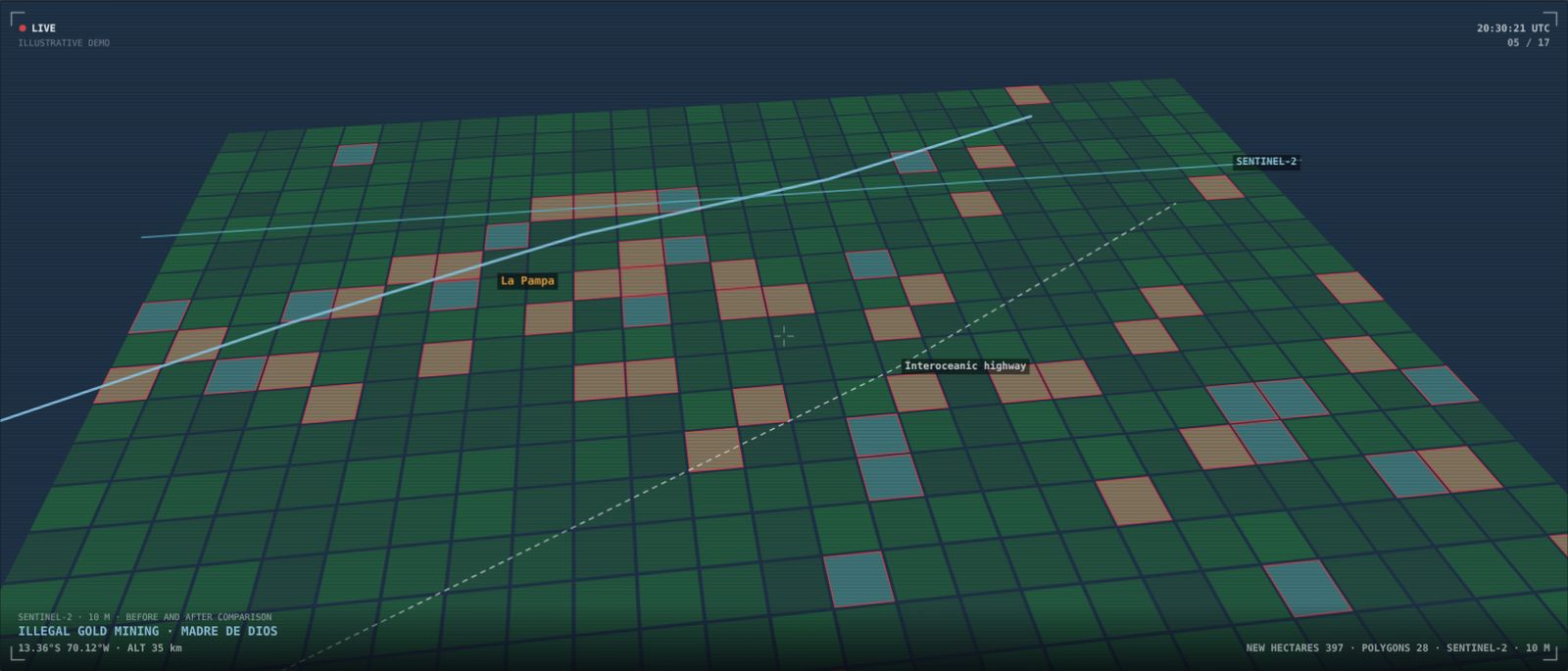
Illustrative scenario built to show the platform. It does not describe a client or a real ongoing situation.
Want to see it with your own data?
We'll show you Serendyp on your country, your sector and your risks.