
Scenario · O'Higgins
River floods and isolated municipalities
Rain is falling on the Andes and the rivers are rising. Knowing which municipalities will be cut off, and when, determines who is evacuated first.
Situation. A frontal system is dumping rain on the O'Higgins region. The Cachapoal and Tinguiririca rivers are rising, and power outages are spreading across several municipalities.
What Serendyp sees. DGA gauging stations with their level and rate of change, the 72-hour forecast, outages reported to the SEC and INE municipal boundaries on a single map. The most exposed municipalities are flagged before the water arrives.
What gets decided. Prioritize evacuations and road closures, move power crews to the municipalities that will be cut off, and alert critical services in the area.
What you see
- Level and rate of change at every station
- 72-hour forecast
- Power outages by municipality
- Exposed municipalities before the flood
Scenario sources
DGA · 72 h forecast · SEC outages · INE municipal boundaries
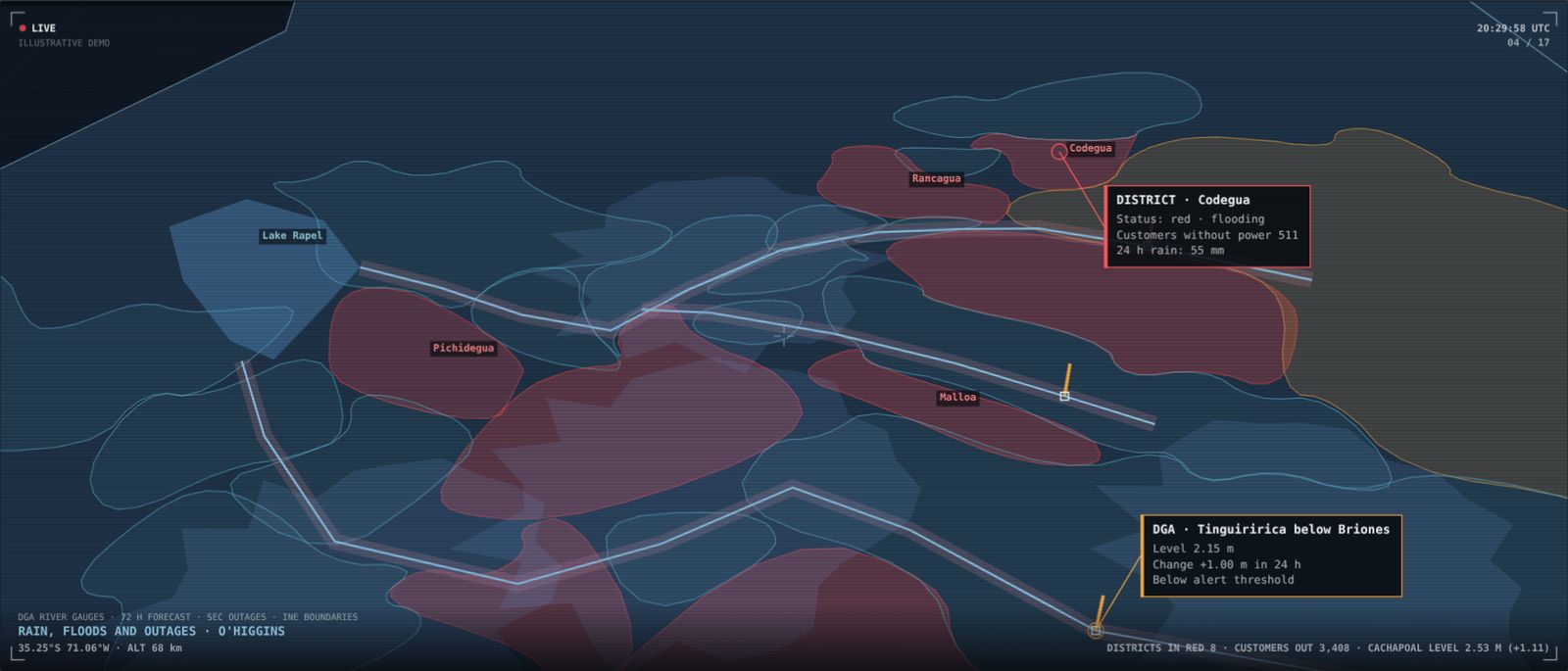
Illustrative scenario built to show the platform. It does not describe a client or a real ongoing situation.
Want to see it with your own data?
We'll show you Serendyp on your country, your sector and your risks.